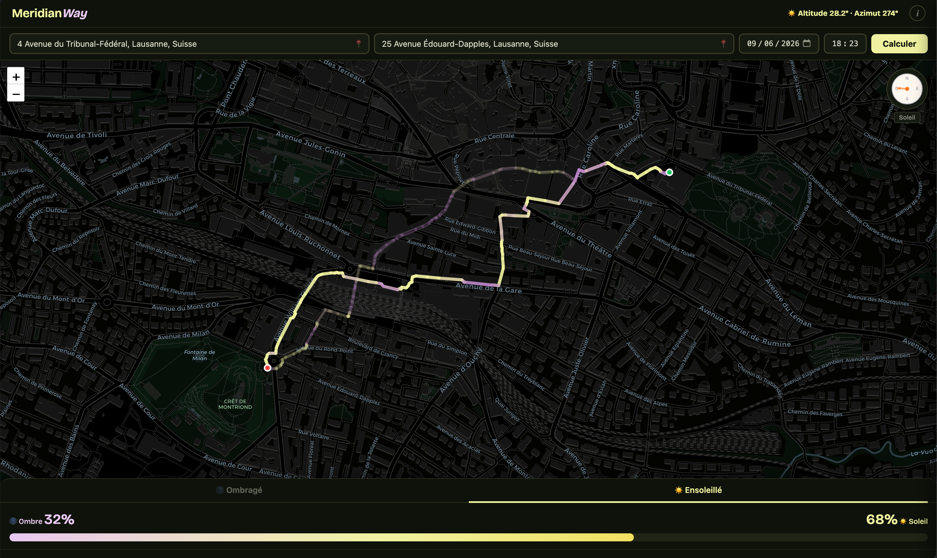
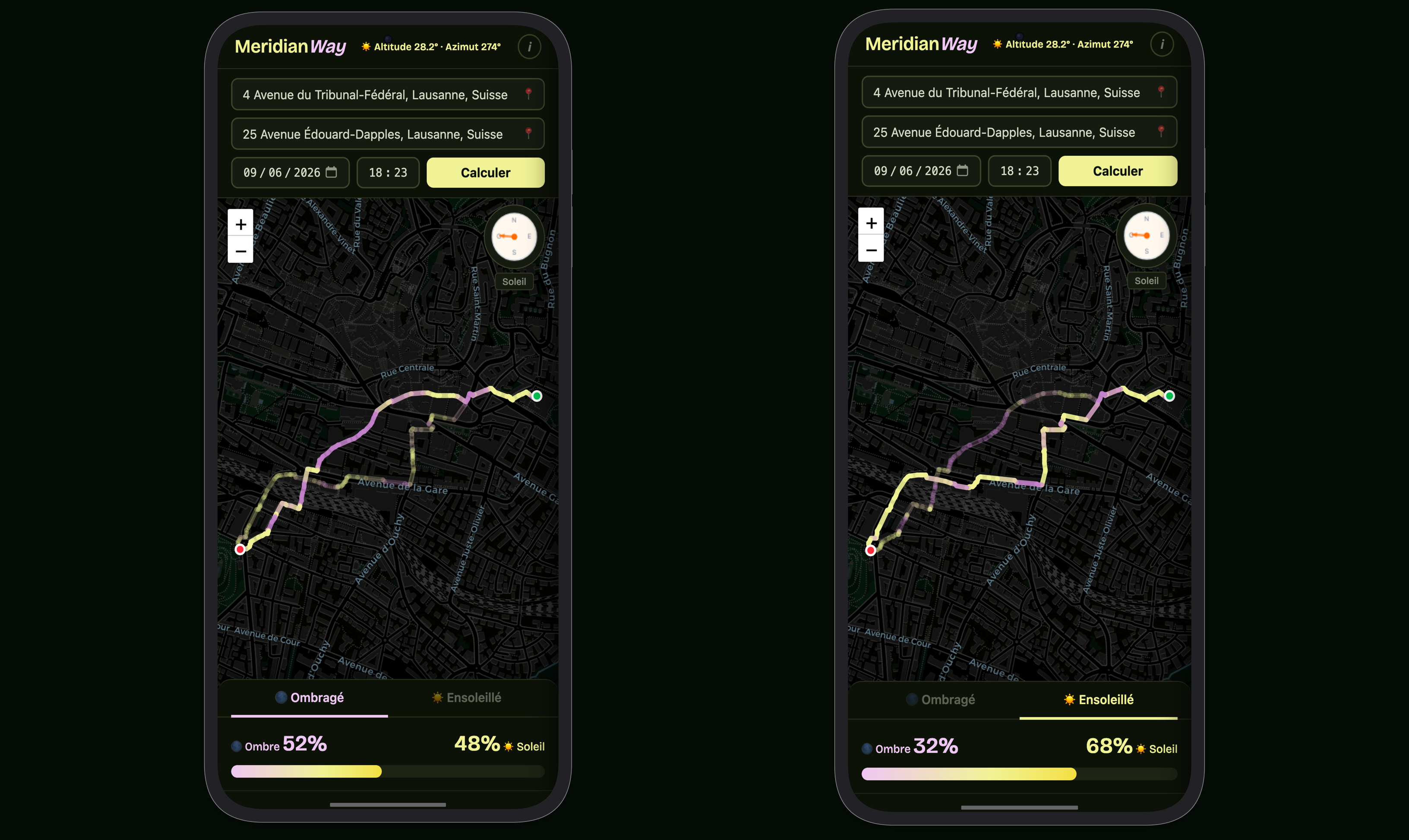
MeridianWay calculates two pedestrian routes between any two points: one maximizing sun exposure, one minimizing it.
The app computes real-time solar position and projects building shadows using OpenStreetMap's crowdsourced building height data.
Results depend on OSM coverage — some shadier paths may go undetected where height data is incomplete. Treat routes as suggestions.